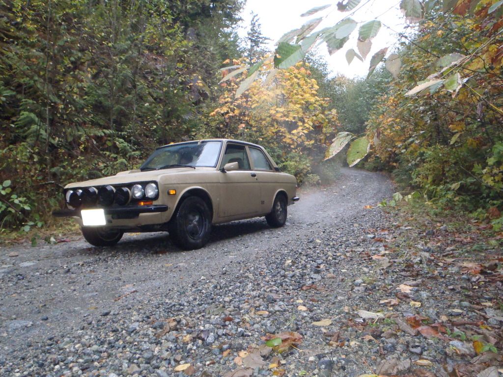
Most tourists travelling along the Sea to Sky Highway between Vancouver, BC, and the Whistler ski resort are unaware that their route is taking them past one of the worst polluted mine sites in North America. Seventy years of mining activity has exposed the ore to air and water, resulting in chemical reactions that create concentrated acidic, metal-contaminated water. From the mine, this water, or acid rock drainage, made its way down to Howe Sound, killing marine life in the immediate vicinity. But just like the tragic shipwrecks that provide divers with interesting dive sites, the historic and infamous Britannia mine operation has left a wealth of mining remnants for four wheelers and other back country explorers to find.

http://bc4x4.com/tr/2010/mount-sheer/
The article includes a link to a 360-degree panorama of the generator building. Check it out!
...lars
http://bc4x4.com/tr/2010/mount-sheer/
The article includes a link to a 360-degree panorama of the generator building. Check it out!
...lars
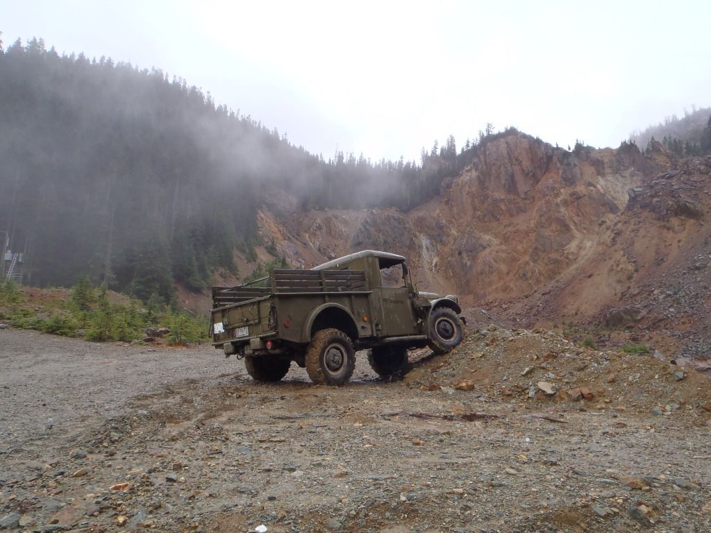
") Plenty of more exploring to do up there this summer. I was up to the basin a few times last summer but did not continue up past it. Does any one know the condition of the road up past Jane Basin?(obviously with no snow). I also walked for a few hundred feet up the old road towards the 2 lakes but it looks as though most was washed away when they made the "slight" error in the blast of the dam.
Plenty of more exploring to do up there this summer. I was up to the basin a few times last summer but did not continue up past it. Does any one know the condition of the road up past Jane Basin?(obviously with no snow). I also walked for a few hundred feet up the old road towards the 2 lakes but it looks as though most was washed away when they made the "slight" error in the blast of the dam.